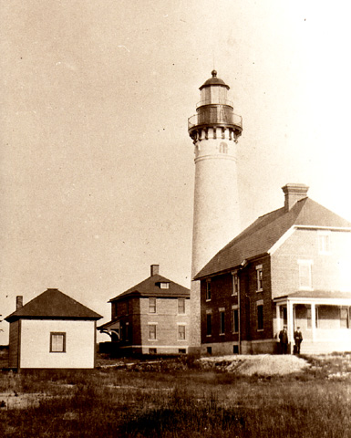
 1920's view of the station. AU SABLE POINT LIGHTHOUSE State: MICHIGAN 31 MILES EAST OF MUNISING; 13 MILES WEST OF GRAND MARAIS, MICHIGAN State: MICHIGAN Year Station Established: 1874; Year Automated: 1958 Year Existing Historic Tower Constructed: 1874
Is there a Newer Tower? NO Is there an Existing Fog Signal Building? YES Is there an Existing Keepers Quarters? YES (CONVERTED TO DUPLEX
IN1909) Other Structures: STEEL OIL HOUSE (1915), 2ND BRICK KEEPERS (1909), KEROSENE STORAGE SHED (1895), 2 BRICK PRIVIES (1874/1909), WOODEN BOATHOUSE AND WOODSHED (1875), BRICK CISTERN, 2 VEHICLE WOOD FRAME GARAGE (1954) Owner/Manager: U.S. COAST GUARD/NATIONAL PARK SERVICE Current Use: ACTIVE AID TO NAVIGATION IN NATIONAL PARK Open to the Public? YES; GROUNDS OPEN DAILY/GUIDED TOURS DURING
SUMMER National Register Status: LISTED: AU SABLE LIGHT STATION Documented by HABS/HAER? YES MI-317 CALLED BIG SABLE LIGHT UNTIL 1910; STATION IS BEING RESTORED TO ITS 1909-1910 APPEARANCE GENERAL INFORMATION: This light was called Big Sable Light until 1910. The National Park Service is in the process of restoring the lighthouse. The tower and red brick building keepers dwelling and matching red brick fog signal building are still standing. The boarded lantern area is an impressive sight. The third order fresnel lens is on display at the National Lakeshore’s Nautical and Maritime Museum in Grand Marias. |
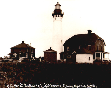 A 1940's view of the station
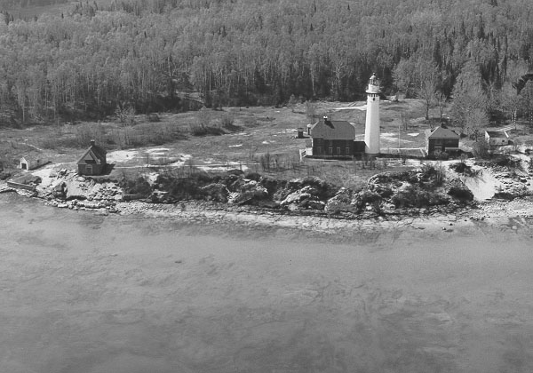
An undated US Coast Guard photo from the air.
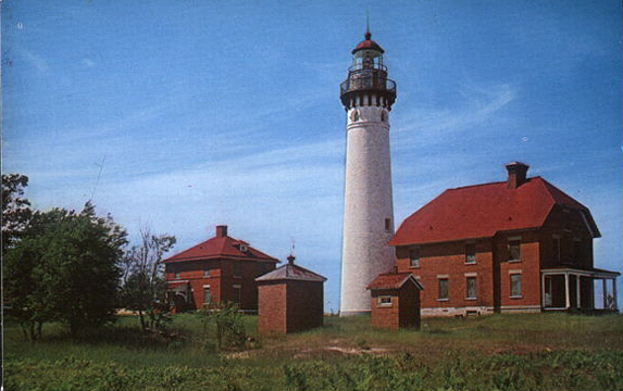
A view from an old postcard with all the windows boarded up.
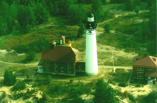
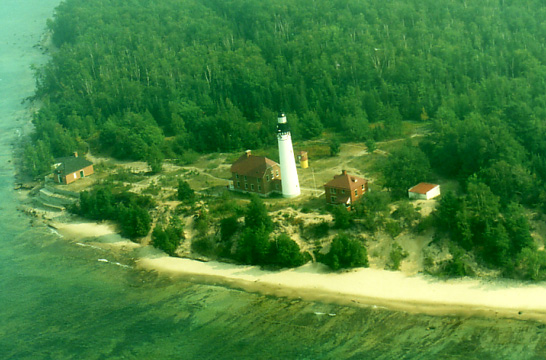
A current view of the station from the air in 2001.
Another view from the air in 2001
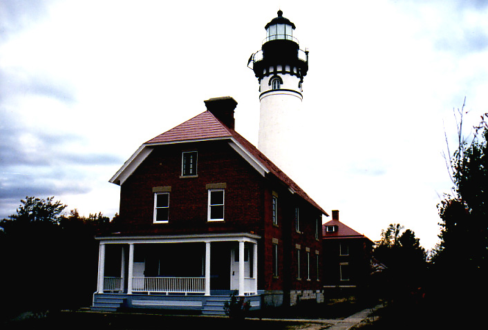
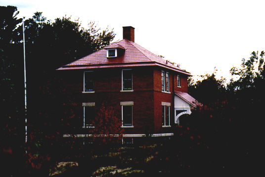
An early evening view in 2001. Same below.
|
|
